13Lakes
When it rains, water that falls on the landscape follows a natural path downstream to one of the three creeks and 13 lakes in the District.
Learn more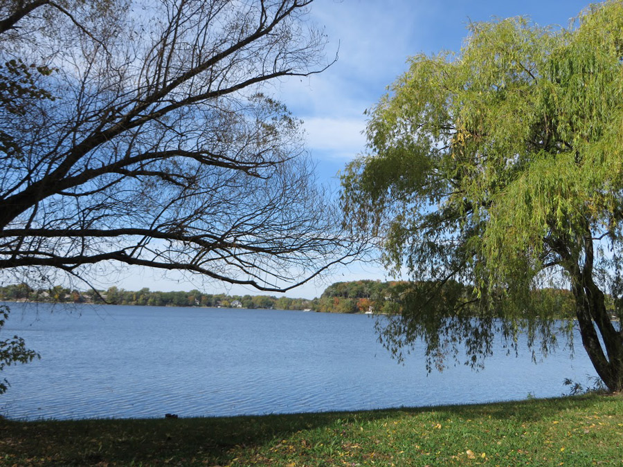
When it rains, water that falls on the landscape follows a natural path downstream to one of the three creeks and 13 lakes in the District.
Learn more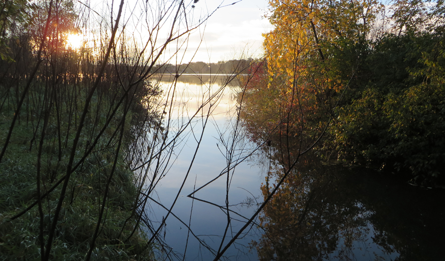
RPBCWD covers an area close to 50 square miles and includes three distinct watersheds: the land that drains to Riley Creek, Purgatory Creek, and Bluff Creek.
Learn more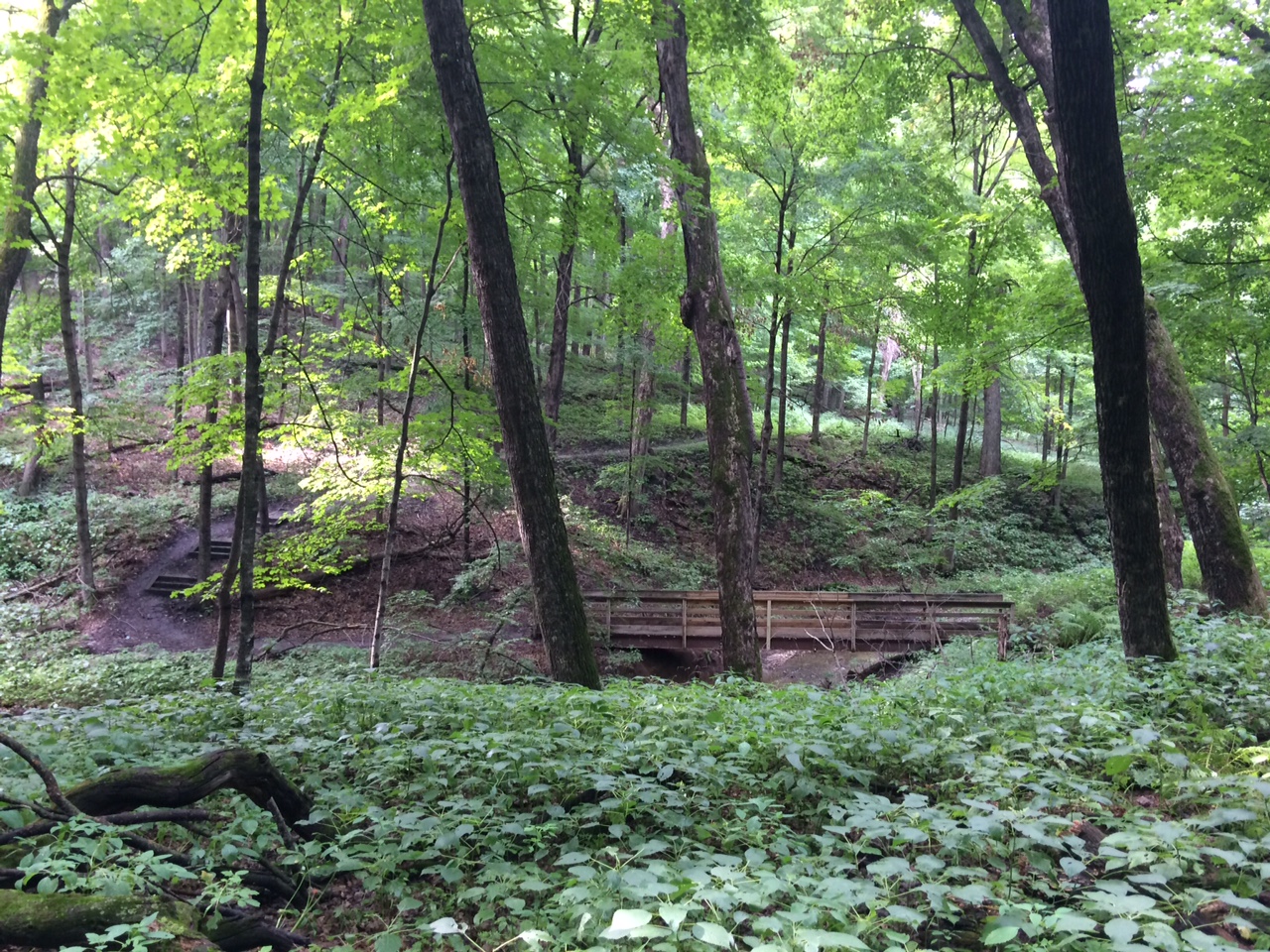
Our watershed abounds with various parks, including community and neighborhood parks, conservation areas and preserves.
Learn more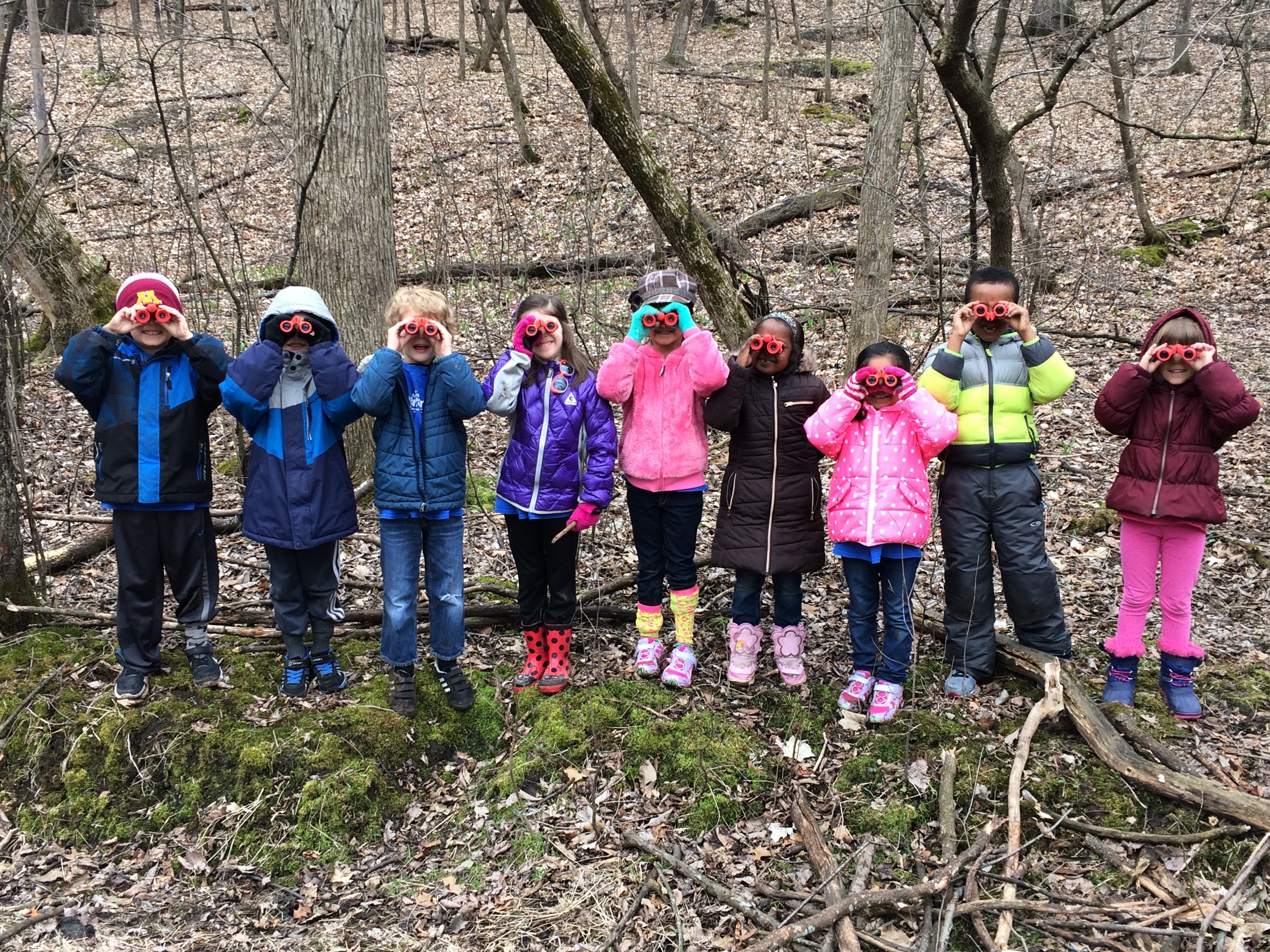
The District is located in the southwestern Twin Cities metro and includes portions of Bloomington, Chanhassen, Chaska, Deephaven, Eden Prairie, Minnetonka, and Shorewood. Do you live in the RPBCWD?
Learn moreThe Riley Purgatory Bluff Creek Watershed District (RPBCWD) is a local, special unit of government with a boundary based on the watersheds of Riley, Purgatory, and Bluff creeks. It was established on July 31, 1969, following a petition by local property owners to the Minnesota Water Resources Board. The purpose of RPBCWD is to protect and improve the water resources of our communities.
Learn more about watershed districts at Minnesota Watersheds (formerly Minnesota Association of Watershed Districts or MAWD)
Learn more about the Minnesota Board of Water and Soil Resources (BWSR), the state agency that directs soil and water conservation programs throug![]() h the actions of watershed districts, cities, counties, and other organizations.
h the actions of watershed districts, cities, counties, and other organizations.
The boundary of the watershed district is based on the watersheds of the three creeks. The boundary encompasses portions of seven communities including Eden Prairie, Chanhassen, Minnetonka, Bloomington, Deephaven, Shorewood, and Chaska. The district office is located at the border of Chanhassen and Eden Prairie near Dell Road.
When it rains, water that falls on the landscape drains toward a waterbody. This area of land is the body’s watershed. Anything that happens within a watershed impacts the lake, creek, wetland, pond, or aquifer it feeds. Watershed districts are charged with protecting and improving our communities’ water resources. Districts partner with local communities to identify top priorities and plan, implement, and manage efforts which protect and improve local water resources. They educate and engage residents, and the work they undertake benefits the quality and quantity of water in local as well as downstream watersheds and communities.
Create a clean water project
We provide financial assistance, resources, and tools to help you take action for healthy water resources in your neighborhood, city, watershed, and beyond.
Apply for a GrantVolunteer
Fostering stewardship and growing capacity through fun, impactful volunteer opportunities.
VolunteerAttend an event
There is always something happening in the watershed. Our event calendar, blog, and project pages are here to help you stay up-to-date
Attend an eventLearn more
There is a lot of information out there about water resources, and so much each of us can do to protect clean water in our communities.
Learn more
Watershed Management Plan (10-Year Plan)
The Watershed Management Plan is a document that guides all of the watershed district’s actions. The plan undergoes an update every 10 years and highlights how the district will monitor local water quality, the projects it will do, and how it will engage its community.

50 Years of Clean Water
Take a trip through 50 years of watershed history, and explore the ways that local residents, organizations and government partners have shaped the waters of this community!